Call one of our experts to discuss your next holiday with Vertical Explorers +92 (0)31 555 444 34


Gojal valley situated in the far north of Pakistan. It borders Pakistan and China at Khunjerab Pass and Shimshal valley and Afghanistan at Chipurson valley. It is the largest tehsil of the Gilgit-Baltistanregion of Pakistan.
Gojal is a series of large and small valleys sharing borders with Hunza in the south, China in the north-east and Afghanistan in the north-west. Shishkat is the first village of Gojal. Except for the Shimshal, Misgar and Chipursan valleys, all the villages of Gojal can be seen from the Karakorum Highway (KKH), which crosses Gojal, entering China at the Khunjerab Pass.
Geography
Geographically Gojal is located between 70 latitude and 61 and is spread over an area of 8,500 km² of land, at an elevation ranging from 2,340m to 4,877m, above the sea level.
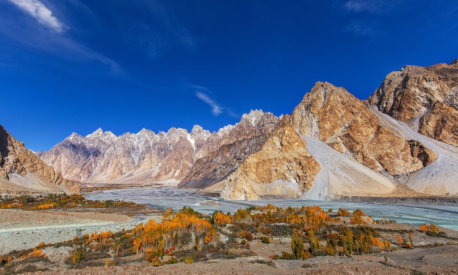
Gojal is a mountainous region forming the western part of the Karakoram and Eastern Pamir mountain range. This area also hosts the 56 km long Batura glacier the third longest of Pakistan (after Hispar and Biafo).
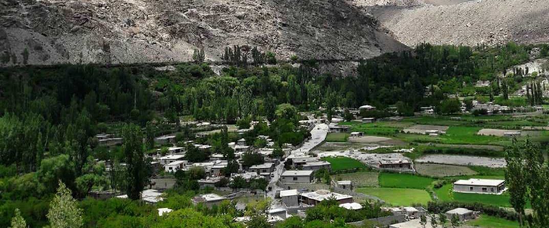
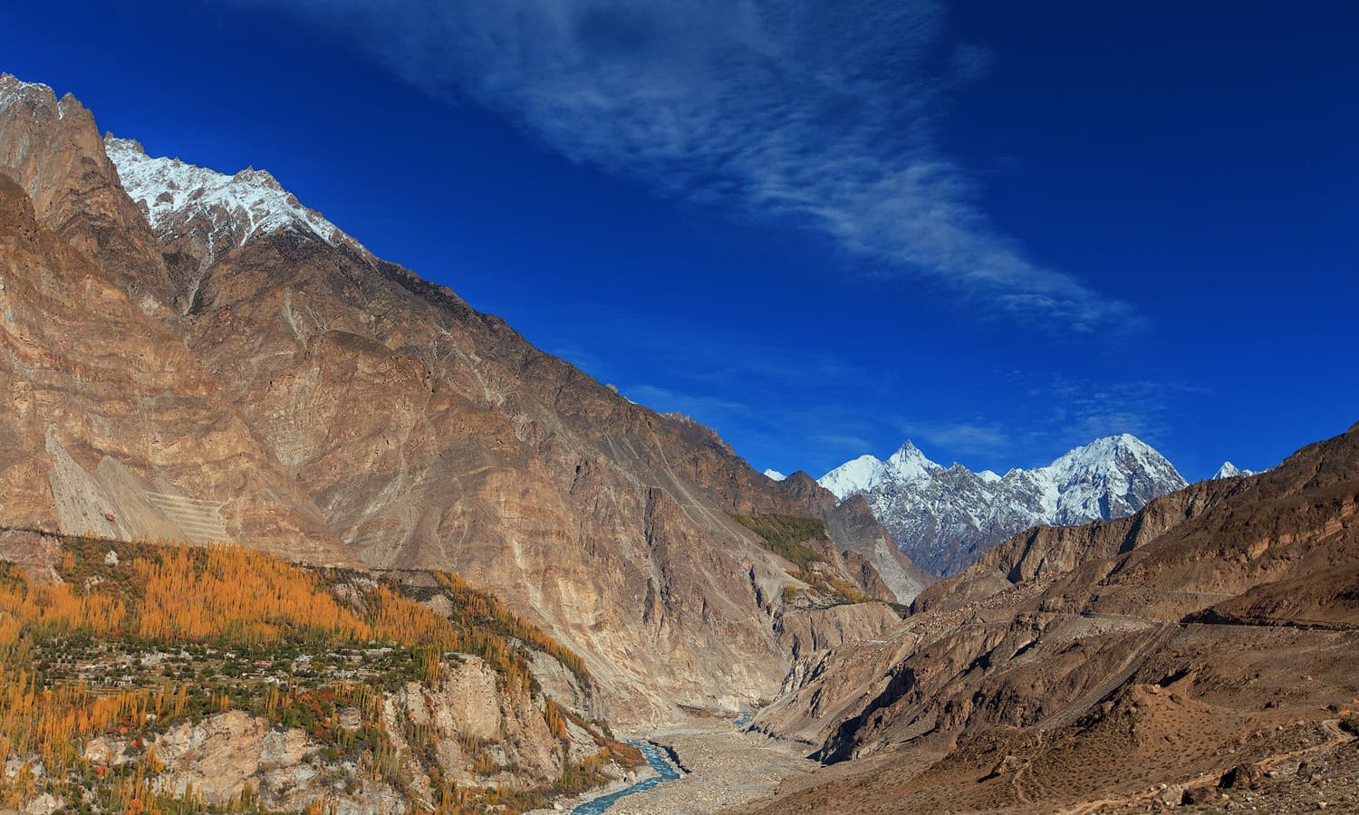
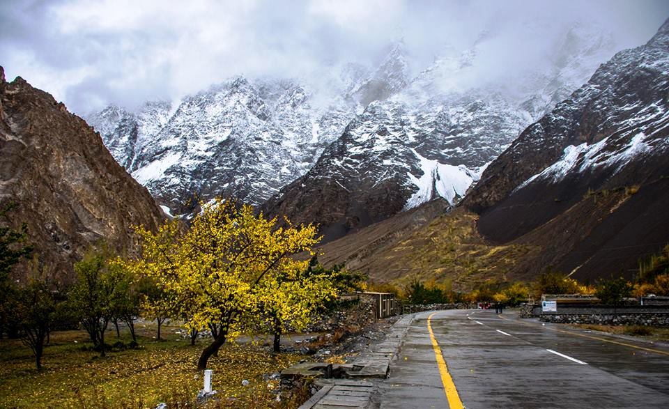
The region is home to lofty ice-capped peaks, roaring rivers, lush green pastures and long glaciers.
Gojal valley Villages
The main villages of this district include: Shishkat (now Nazeemabad also called Trapur), Gulmit, Ghulkin, Husseini (older names Sisoni/Ghusani), Borith, Passu, Shimshal, Khyber, Ghalapan, Morkhoon, Jamalabad, Gircha, Sost, Khudaabad, Misgar, Yarzerech, Raminj, Kirmin, Khill, Rasht, Shersabz, Ispenj, Shitmerg and Zoodkhoon.
Administration
Gulmit, the winter-capital of the then Hunza state until 1974, is the main town (tehsil headquarters) and seat of government, while Sost is the border check-post and gateway for Pakistan-China overland trade.
Gojal valley History
The valleys and villages of Gojal were settled over time by people from surrounding regions. Kirghiz nomads initially used the areas in upper Gojal as winter pastures. Wakhismigrated from Wakhan to this region, the Yishkuk (Chipursun) valley, the Avgarch area of Gircha and Sost villages were settled in the upper Gojal while in the lower Gojal Hussaini [ur] is considered ancient settlement. When Hunza was under the Central Government of Gilgit the Ishkook settlement was wealthy and paid cattle and other dairy productsto the Raja of Gilgit. As Hunza emerged as an independent state during the early 15th century so it can be inferred that different valleys in upper Gojal were inhabited by the Wakhi speaking migrants prior to the emergence of the Hunza state. Later, the oral history holds, a catastrophic flood destroyed the Ishkook settlement during the 18th century.
Since 2010, parts of the valley have been inundated by the 27 km long Attabad Lake
Gojal valley Tourist sites
Shishkat is also known as Nazimabad Shishkat is the first village of Gojal valley which borders Gojal with Hunza. Total population of the village is 2160 individuals living within 220 households. This is dominantly a Burushaski speaking village however people of Wakhi and Domaaki ethnic group also inhibit the village. The village was settled down in 1903 during the reign of Mir Nazim Khan. Before this the barren lands were used as grazing land of Gulmit village. Some Wakhi households from Gulmit also permanently settled down in Shishkat while the Burushaski and Domaaki people migrated from Central Hunza. The village also has historical significance because this was the battle ground between Wakhi population above Gulmit and the state of Nagar and Hunza.
Shishkat
Shishkat is one of the beautiful place in Gojal, It is the first village, where Gojal valley starts from. The famous Attabad lake, also known as Gojal Lake is situated at Shishat village, basically Attabad lake is given name after disaster in 2007, many people of Attabad were killed so the lake which has come to form in Shishkat has named Attabad lake(In the remembrance of the peoples).It is famous for its cultural festival. People of Shishkat are also famous for their hospitality.
Lupghar Sar is 109th on the list of world tallest mountains. It is located in Shishkat village of the Gojal valley. It is part of the Momhail Sar cluster of mountains and has an elevation of 7,200 metres (23,622 ft) above sea level. In Wakhi language Lupghar Sar translates as “the top of the big rock”.
Avgarch
One of the oldest strong hold of Wakhis against Kirghiz and other invaders is located in valley starting at Murkhun. There are two forts namely Pasth Qlha and Wuch Qlha, an Ismaili mosque and Watch towers in Avgarch. These historic sites are still in use. Baba Sufi is considered one of the first to settle in Gojal along with his wife. He settled by the spring of Gircha but abandoned it from the fear of looters, his clan later kept using Gircha as a fertile land and took the crops back to Avgarch. The settler of Shimshal Mamu Singh also went through Avgarch and Qorun Pass. Legends say his wife was also from Avegarch. Later Mir Silum Khan of Hunza convinced people to settle Gircha and use Avgarch for one season. During the invasion of the British the people from all lower Gojal and Hunza, took shelter in Avgarch. Later British came to Avgarch and asked people to go back to their home with assured safety.
Avgarch is one a tourist attraction with 1.5 hour hike from KKH, She offers beautiful pastures and hamlets, glaciers and peaks, yosinband, Old graves of Kirghiz, oldest Juniper tree of Hunza the Baltar Yarz, Boibar valley, Priyar and famous Qorun pass.
Gircha
A spring village, by the KKH is one of the first settled land in Gojal. Settled by Wakhi legend Bobo e Sufi, his generation used this land to just to grow crops for long, then a fort was built in Gircha which became the centre of political activities for Mirs, sarai for travelers/explorers. Gircha has a geographical significance as there are proofs that provide unique litho- and biofacies which has led to the term [2] Gircha has been flooded multiple times, woods etc can be seen in the sediments made visible by recent erosion.
Flood from Dilboy stopped the Khunjerav River which eroded the old village and fort. People relocated the fort but the erosion continued and people had settle new villages nearby, namely; Sost, Nazimabad, Murkun, Jamalabad and Ghalapan.
Click on Map to open
We’ll plan your trip around your specific interests, tastes and preferences, providing helpful tips and honest advice based on first-hand knowledge of the destination.
Our expert locally based guides are hand-picked to provide a genuine experience, bringing your destination to life with care and passion.
Our trips are designed with responsible travel principles that prioritise travel experiences that are both good for you and good for the planet.
We are 100% locals & created our tours by building meaningful relationships with local communities, directly benefiting the people and places we visit.
Join a small group of like-minded travellers that, like you, are eager to safely and confidently experience all the things that make our world worth exploring.
Pack those bags and don't break a sweat because we guarantee every single one of our departures. As long as it's safe, you're going!
No matter the Travel types, our tours balance well-planned itineraries with the flexibility to do your own thing and make the experience your own.
We ensure a hassle-free and safe experience with reliable local support. We provide you with a travel concierge dedicated to helping you 24/7 during your trip.

